About Me
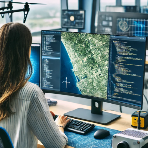
I am a GIS & Remote Sensing Analyst with a degree in Surveying Sciences in Remote Sensing and GIS, currently working as a Research Consultant. I have experience in spatial data analysis, satellite image processing, machine learning, geospatial modeling, and automation. My expertise include applying geospatial solutions to urban planning, hydrology, agriculture, environmental monitoring and disaster management.
Services I Offer:
Satellite Data Processing
GIS & Spatial Analysis
Hydrology and Climate Data analysis
Machine Learning & python for Geospatial Data
Python Geospatial Modeling & Automation
Statistical Analysis
Surveying & AutoCAD Mapping
Research and analysis
Academic Writing and presentation
I work with Python, JavaScript GEE, ArcGIS, QGIS, ENVI, AutoCAD, SNAP and more to develop data driven solutions with spatial and climate data. Let’s collaborate and turn geospatial data into actionable, data driven insights that will drive your projects forward. Feel free to reach out!!
My Expertise
Explore & Appreciate my Work
TN Kothalawala has not added any portfolio
My Project History & Feedbacks
My Endorsements
TN Kothalawala hasn't been endorsed yet
My Education
Work Experience
Certifications
$10/hr
Total Earnings
$ 0
Projects Completed
0
Services Delivered
0
Buyer worked with
0
Feedbacks
0
Followers
Total Refund
0
Contest Completed
0
Member since
My Articles
No Articles Posted
Top Freelancers by skill & country
Copyright © 2025 | Truelancer.com

